

The deep depression over the Bay of Bengal intensified into cyclonic storm Migjom on Sunday and is likely to hit the south Andhra Pradesh coast between Nellore and Machilipatnam by December 5. During this time, wind is expected to blow at a speed of 80 to 90 kilometers per hour. India Meteorological Department (IMD) gave this information in a bulletin.

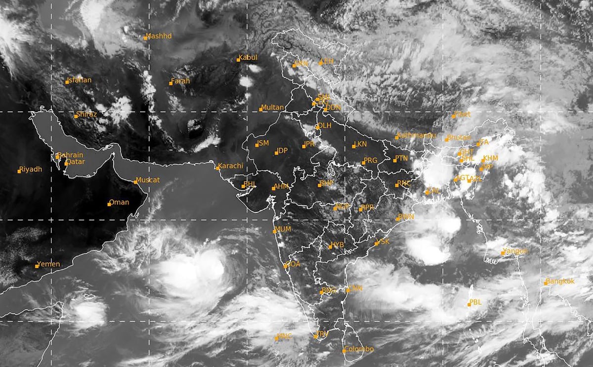
IMD said that due to the impact of this cyclone, there is a possibility of heavy rain in most parts of southern Odisha and the coastal areas of the state. The name Cyclone Michaung was suggested by Myanmar and means strength or resilience. The weather agency said the system formed due to the pressure area moved north-westwards at a speed of five kilometers per hour during the last six hours and intensified into a cyclonic storm which made landfall around 300 km east-southeast of Puducherry at 5.30 am. It was centered 310 km southeast of Chennai, 440 km southeast of Nellore, 550 km south-southeast of Bapatla and 550 km southeast of Machilipatnam.

It is likely to move north-westwards and intensify further and reach west-central Bay of Bengal near southern Andhra Pradesh and northern Tamil Nadu coasts by the afternoon of December 4. The bulletin said that after this it will move northwards almost parallel and close to the South Andhra Pradesh coast and will hit South Andhra Pradesh between Nellore and Machilipatnam as a cyclonic storm with a speed of 80 to 90 km per hour in the forenoon of December 5. The state will hit the coast.

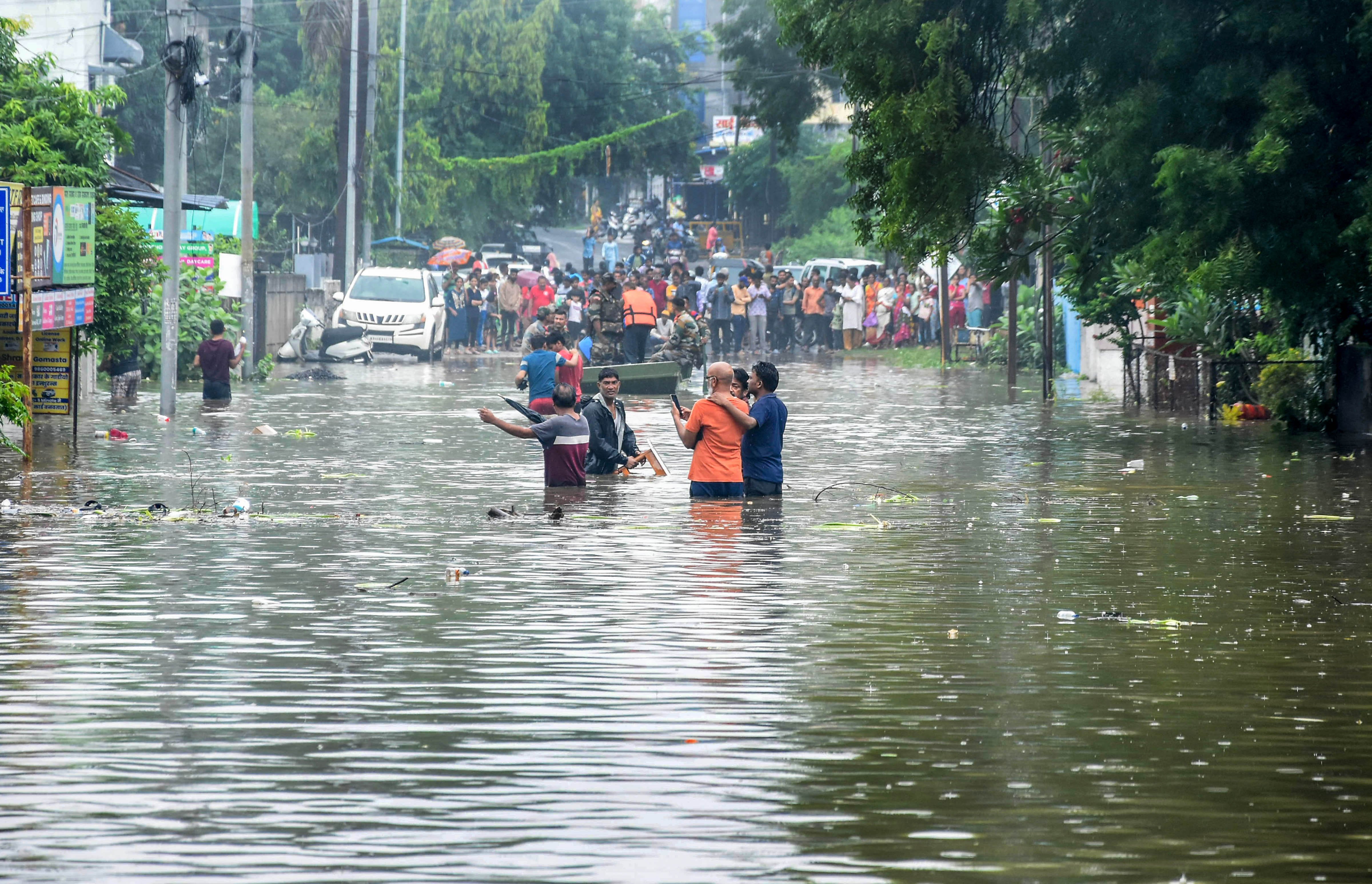
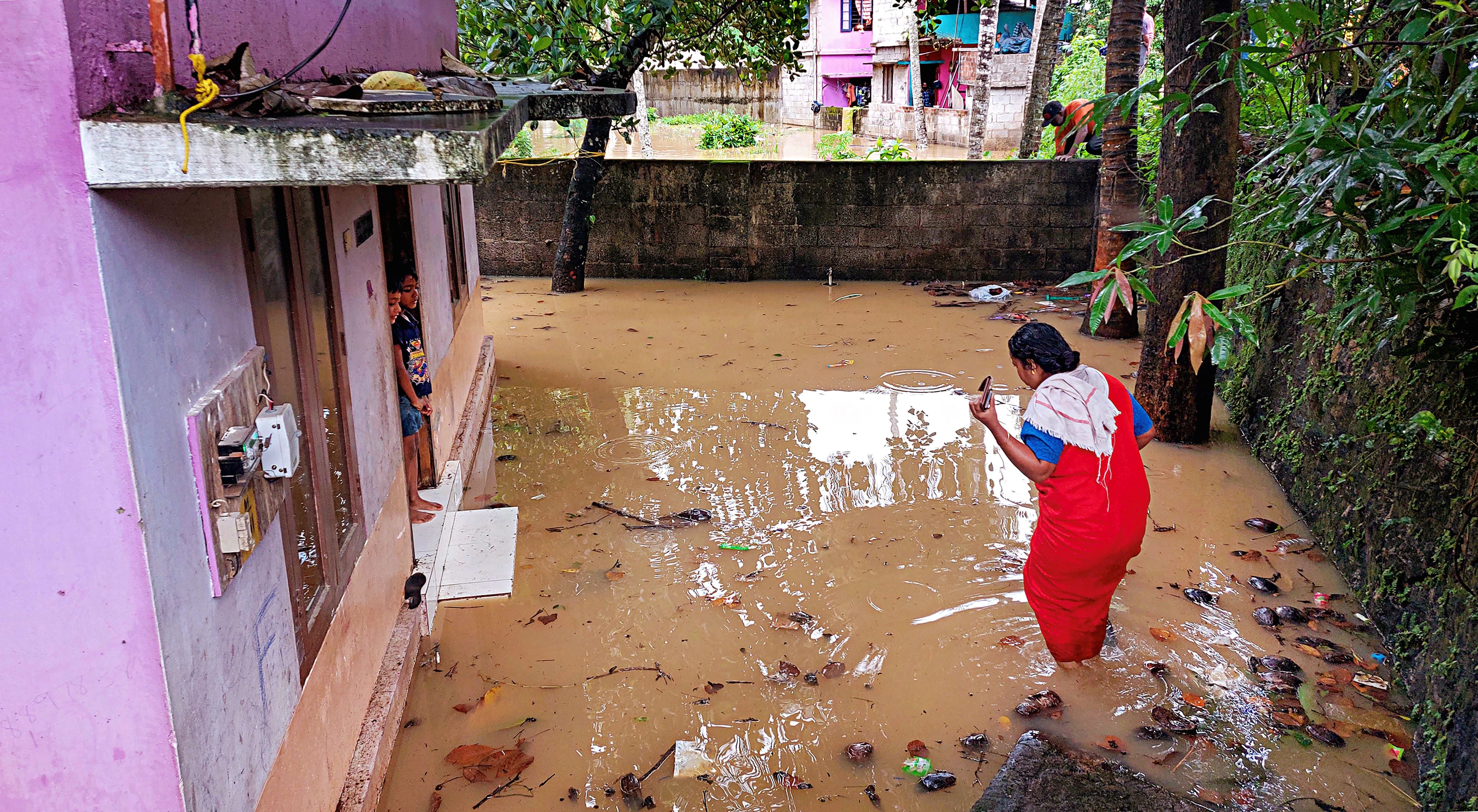
Under its influence, there will be light to moderate rainfall at most places in Odisha and heavy rainfall at a few places over South Coastal and adjoining South Interior Odisha during December 4 to 6 and very heavy rainfall at a few places over the same region on December 5. It is expected to rain. An official of the Regional Meteorological Centre, Bhubaneswar said that due to its impact, rains may resume in Odisha on December 3 and its intensity will increase in the next three days. He said there would be light to moderate rainfall at one or two places over Coastal Odisha, Nabarangapur, Kalahandi and Kandhamal districts or at a few places over Malkangiri, Koraput, Rayagada, Gajapati and Ganjam on Sunday.

In view of the possibility of heavy rainfall (seven to 11 cm) at one or two places in Malkangiri, Koraput, Rayagada, Gajapati and Ganjam in the state on December 4, IMD has issued a yellow alert.

IMD said that similarly, moderate rain and thundershowers are expected at many places in Malkangiri, Koraput, Rayagada, Gajapati, Ganjam and Puri while at some places in Kandhamal, Nabarangpur, Kalahandi, Nayagarh, Khurda, Jagatsinghpur and Cuttack. And there may be rain and thunder at one or two places in the remaining parts of the state.
IMD has issued ‘Orange Alert’ for December 5. He predicted that heavy to very heavy rainfall (seven to 20 cm) may occur at one or two places in the five districts of Malkangiri, Koraput, Rayagada, Gajapati and Ganjam.
The state government has put all coastal and southern district magistrates on alert and canceled leaves of employees working under the Agriculture Department.

East Coast Railway (ECOR) has canceled the operation of 54 trains in its jurisdiction in view of the possibility of rain and wind. Fishermen have been advised not to venture into the sea until further notice as the sea condition will be extremely rough.

The National Disaster Response Force (NDRF) has deployed 21 teams in Tamil Nadu, Andhra Pradesh and Puducherry and has also kept eight more teams ready in view of the Michong cyclone forming over the Bay of Bengal. There is a possibility of this cyclone hitting the coast in some parts of Southern India.
Due to the impact of cyclonic storm Michong forming over the Bay of Bengal, there may be light to moderate rain in the next two days in the southern districts of West Bengal including Kolkata. MET said that the storm is moving in the north-west direction in the south-western part of the Bay of Bengal.
According to the forecast of the Indian Meteorological Department, due to the influence of western disturbance, there is a possibility of light to moderate rain with hail in some parts of Kota, Udaipur, Ajmer, Jaipur and Bharatpur of eastern Rajasthan on Saturday and Sunday.