
UP Weather Update: Amidst the ups and downs of weather in Uttar Pradesh, once again the rainy situation is becoming active. While the temperature is being affected due to rain in Purvanchal, there is a humid atmosphere in the western part of the state. According to the Meteorological Department, before the onset of pink winter, the rain is ready to show its effect once again. Also, many districts may witness lightning strikes. However, the weather will remain dry in between. According to Atul Kumar Singh, senior scientist of Zonal Meteorological Centre, Lucknow, the weather will change suddenly in some districts. Its greater impact can be seen in the districts of Purvanchal. Whereas in western UP the weather will be dry. There are chances of light rain in some districts.
Possibility of drop in maximum temperature
According to the Meteorological Department, the weather will be generally dry in western Uttar Pradesh on October 3 and there is a possibility of rain and thundershowers at some places in Purvanchal. During this period, there are chances of thunder and lightning at one or two places in eastern Uttar Pradesh. An alert has been issued regarding this. There will be similar weather in the state on 4th and 5th October also. However, no alert has been issued for these days at present. On October 6 and 7, the weather will remain dry in the entire state. There is a possibility of a drop of 2 to 3 degrees Celsius in the maximum temperature in the state during the next 24 hours. After this there will be no change in temperature. There is no possibility of any major change in the minimum temperature for the next four days.
Clouds will rain in these districts
There are chances of heavy rain in Kaushambi, Prayagraj, Sonbhadra, Mirzapur, Chandauli, Varanasi, Sant Ravidasnagar, Jaunpur, Ghazipur, Mau, Ballia, Deoria and surrounding areas in the state. There is a possibility of lightning in Fatehpur, Pratapgarh, Sonbhadra, Mirzapur, Chandauli, Varanasi, Sant Ravidas Nagar, Jaunpur, Azamgarh, Kanpur Nagar, Unnao, Lucknow, Rae Bareli, Amethi, Sultanpur, Ayodhya, Banda, Chitrakoot, Kaushambi, Prayagraj and nearby areas.
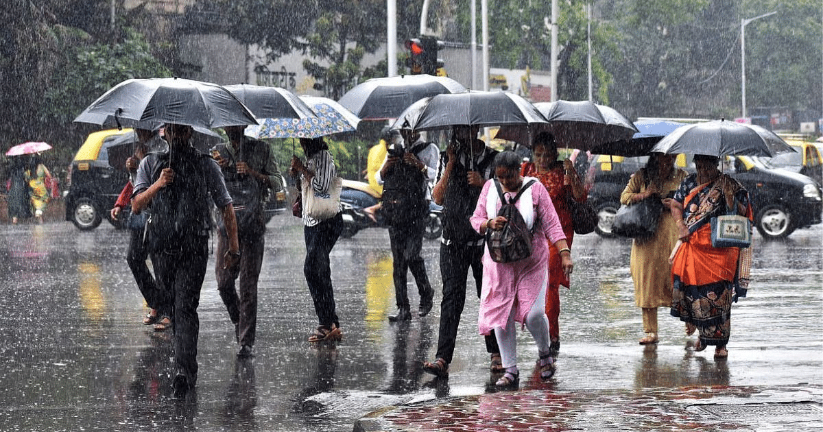
Heavy rain in Gorakhpur, drought in western UP
According to the Meteorological Department, in the last 24 hours, there was light to moderate rain with thunderstorms at some places in Purvanchal and the weather remained dry in Western Uttar Pradesh. During this period, a significant drop in day temperature was recorded in Gorakhpur division of the state. There was no major change in the day temperature in the remaining divisions. In Ayodhya, Lucknow, Moradabad, Meerut and mandals of the state, the day temperature was recorded 1.6 degrees to 3 degrees Celsius more than normal. The temperature remained normal in the remaining divisions. Agra was the hottest area in the state, the temperature here was recorded at 37.4 degrees Celsius.
night temperature conditions
Along with this, if we talk about night temperature, there was no major change in temperature in all the divisions of the state during the last 24 hours. During this period, the temperature in Kanpur division was 3.1 degrees to 5.0 degrees Celsius above normal. The temperature in Ayodhya, Prayagraj, Lucknow and Agra divisions was 1.6 degrees Celsius to 3 degrees Celsius more than normal. The temperature remained normal in all the remaining divisions. The minimum temperature in the state was recorded at 20.8 degrees Celsius in Meerut.
latest weather conditions
According to the Zonal Meteorological Centre, Lucknow, the withdrawal line of South-West Monsoon has been passing through Gulmarg, Dharamshala, Pantnagar, Etawah, Morena, Sawai Madhopur, Jodhpur, Barmer and latitude 25.7 degrees North and longitude 70.3 degrees East. Conditions are becoming favorable for withdrawal of Southwest Monsoon from Jammu Kashmir, Ladakh, Gilgit Baltistan, Muzaffarabad, Himachal Pradesh, Uttarakhand and remaining parts of West Uttar Pradesh, some more parts of West Madhya Pradesh, remaining parts of Rajasthan and some parts of Rajasthan. Have been.
With this, the well marked low pressure area over South Central Maharashtra and surrounding areas is now situated as a low pressure area over the same area. The associated cyclonic circulation extends to mid-tropospheric levels. The well marked low pressure area over Southeast Jharkhand and adjoining areas of Gangetic West Bengal and North Interior Odisha is now situated as a low pressure over South Jharkhand and neighbourhood. The associated cyclonic circulation extends to mid-tropospheric levels.