
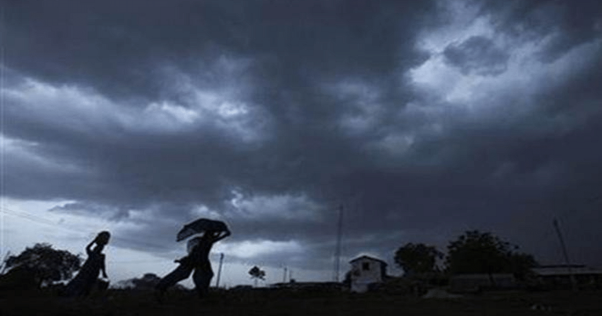
UP Weather Update: Monsoon has once again become active in Uttar Pradesh before its departure. Due to this, heavy rains were seen in the state in the past few days. Now, with the monsoon activity gradually decreasing, only light to moderate rains are occurring in the state.
Rainy weather in entire state on Friday
The Meteorological Department has predicted rain and thundershowers at some places in the entire state on Friday. Along with this, an alert has also been issued regarding lightning. During this period, there are chances of heavy rain at one or two places in western Uttar Pradesh.
Maximum level of humidity reached 97
The maximum temperature in the capital Lucknow and surrounding areas on Friday is expected to be 34 degrees and the minimum temperature will be 27 degrees Celsius. Due to rain, the maximum level of humidity has reached 97 amidst fluctuations in weather.
Weather will change due to rain here in Western UP
According to Zonal Meteorological Centre, Lucknow, there may be rain and thundershowers at some places in the entire state on September 16. During this period, there is a possibility of lightning along with thunder at one or two places in Purvanchal. According to meteorologists of Sardar Vallabhbhai Patel University of Agriculture and Technology, there are chances of moderate rainfall in Amroha, Moradabad, Bareilly Rampur, Pilibhit, Bijnor and Saharanpur on September 16, whereas, on September 15 to 16, there are chances of moderate rainfall in Meerut, Muzaffarnagar Shamli and surrounding areas. There are chances of light to moderate rain.
Chances of rain till September 20
According to meteorologists, after this, on September 17, 18 and 19, there may be rain and thundershowers at one or two places in Western UP and at some places in Eastern Uttar Pradesh. During this period, there are also chances of lightning in Eastern UP. On September 20, there may be rain and thundershowers at one or two places in the entire state. According to the Zonal Meteorological Centre, there is no possibility of any major change in the maximum and minimum temperatures in the state for the next four days.
People suffered due to humidity and heat in Purvanchal
Talking about the weather of Purvanchal, after the monsoon activity has reduced, the heat is now increasing. In the last 48 hours, a game of hide and seek between the sun and the clouds went on several times in Gorakhpur. But it did not rain. People were suffering due to the strong sun and humid heat. On Thursday, the maximum temperature during the day was recorded at 35.3 degrees Celsius and the minimum temperature was recorded at 28.2 degrees Celsius. According to the Meteorological Department, we will have to endure the same heat till September 17. After this, there are chances of rain on 18th September and drizzle on 19th and 20th September.
Increase in temperature in most districts
In Siddharthnagar, Purvanchal, on Thursday, amid the humid heat, the maximum temperature was recorded at 31.5 degrees and the minimum temperature was 28.8 degrees. Here, after the gathering of clouds ended, the bright sunshine raised the temperature and along with the heat, the humidity also increased. Due to this people became drenched in sweat. After no rain, now the humid heat is troubling people again. People are suffering due to low wind speed and strong sunlight.
Possibility of light rain here in Purvanchal
Even in Purvanchal’s Basti, the heat continued to increase as the day progressed on Thursday. An increase of two degrees was also seen in the maximum temperature. The temperature is expected to be 35.5 degrees on Friday. Meteorologists of Acharya Narendra Dev University of Agriculture and Technology, Ayodhya have predicted light rain on Friday.
Cyclonic circulation over southeast UP
Talking about the latest weather conditions, a cyclonic circulation is over south-east Uttar Pradesh and adjoining parts of north-east Madhya Pradesh at a lower level. A trough extends between 1.5 and 5.8 km above mean level from central parts of south Uttar Pradesh to Chhattisgarh and Odisha with a cyclonic circulation associated with the marked low pressure area over northwest Bay of Bengal. Western disturbances are likely to affect northwest India from the night of 15 September.
Monsoon trough position
With this, the low pressure area over northwest and adjoining west central Bay of Bengal has transformed into a well-marked low pressure area over northwest Bay of Bengal near North Odisha and West Bengal coast. The associated cyclonic circulation extends up to 7.6 km and tilts southwards with height. It is likely to move beyond Odisha and Chhattisgarh during the next 2 days.
At mean sea level, the monsoon line is passing through Jaisalmer, Guna, Satna and Jamshedpur. After this, it is again moving towards the south-east till the center of the low pressure area over the north-western Bay of Bengal.