
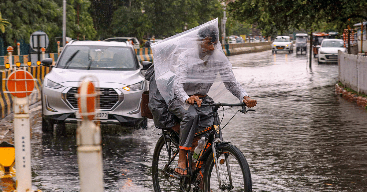
UP Weather Update: The humid weather continues in Uttar Pradesh. According to the latest update of the Meteorological Department, the South West Monsoon has completely withdrawn from Uttar Pradesh on Monday. Now it will knock in the next season. There has been no major change in day and night temperatures in all the divisions of the state during the last 24 hours. And there are no chances of this happening in future also. Along with this, the weather will remain dry in the state till October 15. There is no possibility of any major change in the maximum and minimum temperatures in the state for the next five days. Humid conditions will continue, so people will not get respite from the heat at present. The situation will remain similar from Tuesday till the end of this week. In the capital Lucknow and surrounding districts, the maximum temperature is expected to be 36 degrees and the minimum temperature will be 23 degrees Celsius. According to meteorologists, there will be a gradual increase in dew fall at night.
The process of withdrawal of monsoon started from 30 September
According to the Zonal Meteorological Centre, a fresh western disturbance is likely to affect the Western Himalayan region on October 13. According to the Zonal Meteorological Centre, Lucknow, due to the effect of the cyclone formed in the lower troposphere over Rajasthan, the rains have completely stopped. There has also been an effective reduction in atmospheric moisture. Due to this, the process of withdrawal of south-west monsoon from the western part of the state had started on 30 September. After this, on October 6, the monsoon started retreating from the central parts of the state including the capital Lucknow.
Monsoon data in Western UP and Purvanchal
According to Atul Kumar Singh, senior scientist of the Zonal Meteorological Center, now on October 9, the monsoon has said goodbye to the entire state. Now there is no monsoon activity left anywhere in the state. At present the weather will be dry. After this, the night temperature will start falling from 15th October and the pink cold will start showing its effect. According to the data of the Meteorological Department, the rainfall situation in Uttar Pradesh remained normal during the monsoon. During the monsoon season from June 1 to September 30, Eastern Uttar Pradesh received 29 percent less rainfall i.e. only 569.5 mm as compared to the average of 799.2 mm. Whereas 672 mm rainfall was recorded in western Uttar Pradesh. This was three percent more than the average. Rainfall during this period was normal with a total of 693.9 mm. The total rainfall in the entire state was 17 percent less at 619.3 mm.
Rainfall reduced in June, July and September
According to the Zonal Meteorological Centre, during the monthly analysis of the monsoon season, it has come to light that while the rainfall in Western Uttar Pradesh was more than normal during the month of June, it remained normal during the months of July-August-September. Similarly, in eastern Uttar Pradesh, monsoon rains remained normal only during the month of August, while it remained below normal during the other three months of June, July and September. Highest rainfall of 1270 mm was recorded in Bijnor while lowest rainfall of 162 mm was recorded in Bhadohi. In the same sequence, monsoon rains remained normal in the capital Lucknow also.
latest weather system
According to the Zonal Meteorological Centre, the withdrawal line of south-west monsoon now passes through Raxaul, Daltonganj, Kanker, Ramagundam, Bijapur and Vengurla. Southwest Monsoon has withdrawn from East Madhya Pradesh, East Uttar Pradesh, parts of Bihar, Jharkhand, Chhattisgarh, Telangana and North Interior Karnataka as well as most parts of Maharashtra. A western disturbance is forming over the mountains of North India. A trough is extending from Rayalaseema through Tamil Nadu to Comorin.
During the last 24 hours, light to moderate rain occurred over parts of Northeast India and interior Tamil Nadu with isolated heavy falls. Light to moderate rain occurred in West Bengal and Andaman and Nicobar Islands. Light rain occurred in coastal areas of Coastal Andhra Pradesh, North Tamil Nadu and Karnataka. Minimum temperatures increased by one or two degrees in the northwestern and central parts of the country.
probable weather conditions
During the next 24 hours, light to moderate rain with isolated heavy falls may occur over Northeast India and parts of Tamil Nadu, Coastal Karnataka, South Interior Karnataka, parts of Kerala and Andaman and Nicobar Islands. Scattered snowfall with light to moderate rain is possible in Gilgit Baltistan, Muzaffarabad and Jammu and Kashmir. Light rain is possible in Himachal Pradesh and Uttarakhand and rain at isolated places in Ladakh. There may be one or two moderate rains with light rain in Postal Andhra Pradesh and Lakshadweep. The weather will remain dry in the rest of the country.