
UP Weather Update: Amidst the onset of monsoon in UP, the humidity is also showing its effect. While the weather is becoming pleasant during the rains, people are suffering due to the sultry heat of the sun coming out after it. A similar situation was seen in other parts of the state including the capital Lucknow after the rains on Wednesday. The Meteorological Department has expressed the possibility of rain in many places in the state on Thursday.
According to the Regional Meteorological Center, Lucknow, monsoon winds are moving from central UP towards Madhya Pradesh. In such a situation, there is a possibility of scattered rain in the next 48 hours. After this, a situation of heavy rain is being created in the state.
The axis of monsoon trough is running on its normal position. However, the eastern edge of the trough is to the south from its normal position. A cyclonic circulation is over Northwest Uttar Pradesh.
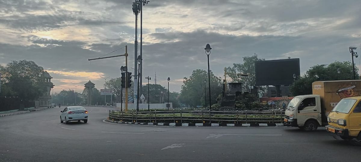
The sky was clear in the morning in Lucknow and surrounding areas in the state on Thursday. Because of this, the effect of heat is being seen. It is expected to rain in most areas of western UP on Thursday, while there may be scattered rains at some places in Purvanchal. At present, there is a possibility of daily rain in the state till July 11.
According to the Zonal Meteorological Center, Lucknow, there is a possibility of rain on Thursday amid movement of clouds in the capital Lucknow and surrounding districts. The maximum temperature is expected to be 33 degree Celsius and the minimum temperature is expected to be 26 degree. In the last 24 hours in the state, maximum heat was seen in Banda. The maximum temperature was recorded here at 36.8 degree Celsius, while the minimum temperature was recorded at 24 degree in Barabanki.
In the last 24 hours in the state, 45 mm of rain was recorded in Orai, 44.5 mm in Prayagraj, 24.6 mm in Muzaffarnagar, 18 mm in Hamirpur and 11 mm in Shahjahanpur.
According to the Regional Meteorological Center, Lucknow, it will rain on Thursday also due to the formation of cyclonic winds in the state and its surrounding areas. According to meteorologists, the monsoon line passing near Lucknow and Prayagraj has changed its course. Right now it is passing through Chhattisgarh, Madhya Pradesh, Bikaner and Churu in Rajasthan.
Along with this, another pressure area is being formed on the other side. The impact of the cyclonic circulation forming over central UP will be seen during the coming 48 hours. Before this, the process of rain will reduce around Eastern UP and Lucknow. When the second system is active then it will rain again.
According to the Meteorological Department, there may be heavy rains in many districts of the state in the next 24 hours. Among these, there is a possibility of heavy rains in Agra, Auraiya, Etawah, Fatehpur, Firozabad, Hathras, Jalaun, Jhansi, Kanpur Nagar, Kanpur Dehat, Lalitpur, Mathura, Pratapgarh, Rae Bareli and Unnao and its surrounding areas. Along with this, lightning can occur in many districts including Lucknow, Unnao, Sultanpur, Sitapur, Mainpuri, Mahoba, Hardoi, Banda, Chitrakoot, Ayodhya, Etah, Etawah, Farukhabad, Shahjahanpur, Lalitpur, Kaushambi.