
UP Weather Update: Rain continues in Uttar Pradesh. However, due to the departure of monsoon, there is no heavy rain anywhere in the state. Only light to moderate rain was recorded.
Humidity max star 88 percent
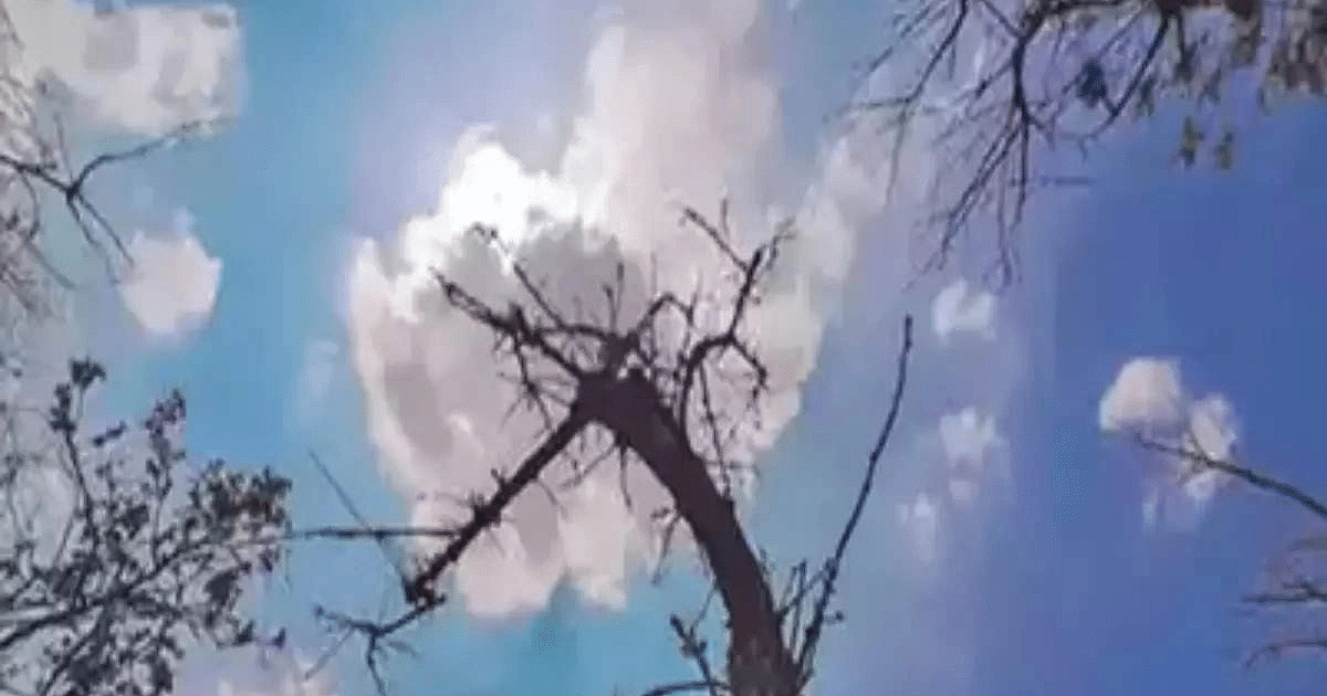
During the last 24 hours, clouds made their presence felt at many places in the state including the capital Lucknow. People felt relieved by this. Amidst the ups and downs of weather, the humidity reaches a maximum of 88 percent.
Alert regarding thunder and lightning
According to Zonal Meteorological Centre, Lucknow, there may be rain and thundershowers at one or two places in the state on Sunday. The Meteorological Department has issued an alert regarding lightning accompanied by thunder at one or two places in the state. The maximum temperature in the capital Lucknow and surrounding areas on Sunday is expected to be 34 degrees Celsius and the minimum temperature will be 27 degrees Celsius.
Rainy season till 22nd September
After this, there may be rain and thundershowers at one or two places in the state on 18, 19 and 20 September. During this period, no alert has been issued regarding the weather. There are chances of rain and thundershowers at one or two places in the state on 21st and 22nd September.
Low pressure area over central parts of southern Madhya Pradesh
Talking about the weather system in the country, the marked low pressure area is over the central parts of southern Madhya Pradesh. The circulation extends up to 7.6 km above mean sea level, bending southward with height. It is likely to move in the western direction in North Gujarat and South-East Rajasthan.
Monsoon trough position
A trough is extending from the cyclonic circulation associated with the clearly marked low pressure area over central parts of Madhya Pradesh to South Konkan of Central Maharashtra and is between 3.1 and 5.8 km above mean sea level. A cyclonic circulation is forming at low level over the southern parts of Haryana.
Another cyclonic circulation is 5.8 km above mean sea level. The monsoon trough at mean sea level passes through Jaisalmer, Kota, the center of a well-marked low pressure area, Pendra Road, Jharsuguda, Balasore and then in a south-easterly direction through the northeast Bay of Bengal. There is no possibility of any major change in the maximum and minimum temperatures in the state during the next four days.