
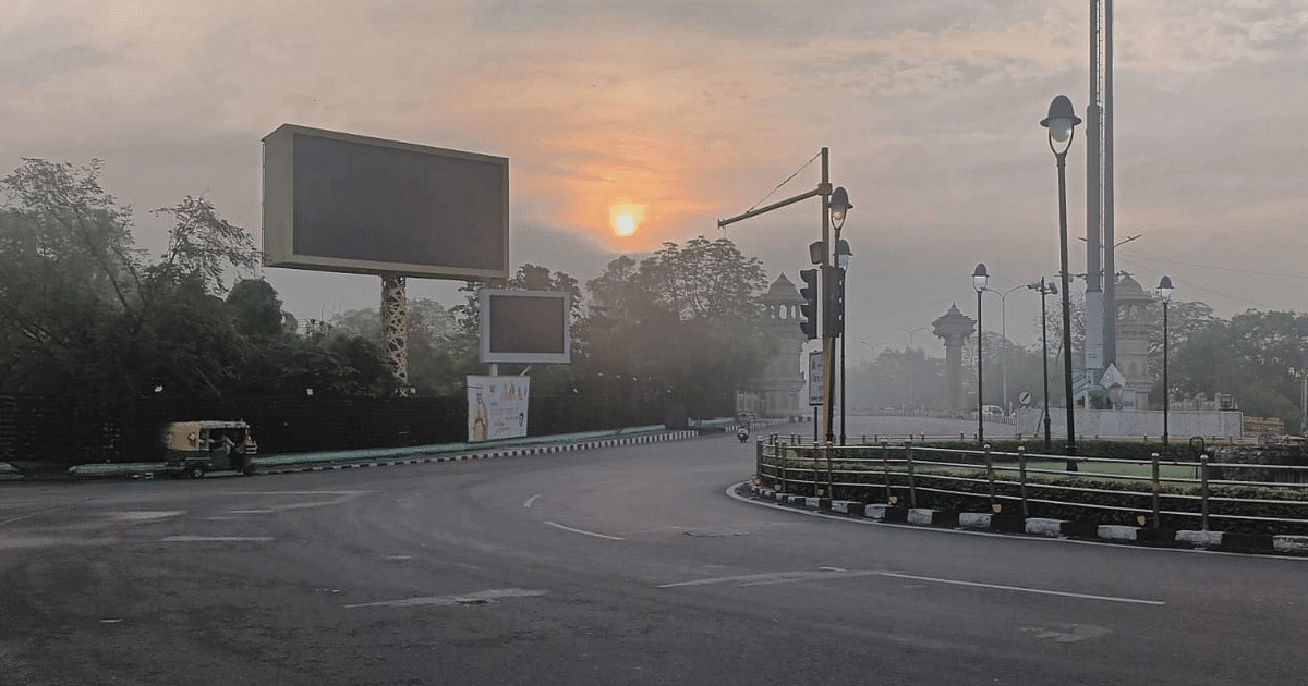
UP Weather Update: Due to the cessation of rains in Uttar Pradesh, the weather has become humid. The month of September did not prove to be a relief in terms of rain and people seem to be suffering from the heat. People in most parts of the state including Purvanchal are troubled by the sticky heat. Due to lack of rain due to movement of clouds, the humidity has increased further. However, people definitely got relief in cloudy areas. But, this relief remained limited to limited areas. Heat is showing effect in most places. Changing weather patterns can also have a heavy toll on farmers’ crops. Saturday morning started with dry weather in most parts including Lucknow. There is a feeling of heat since morning.
There is no possibility of drop in minimum temperature for the next four days
According to Zonal Meteorological Centre, Lucknow, the weather will be dry in the western part of the state on Saturday, while there may be rain or thundershowers at one or two places in Purvanchal. At present no alert has been issued regarding the weather. The minimum maximum temperature in the capital Lucknow and surrounding areas on Saturday is likely to be 35 degrees and the minimum temperature will be 25 degrees Celsius. There is no possibility of change in maximum temperature in the state during the next two days. After this, a gradual decline of two to three degrees will be recorded. There is no possibility of change in the minimum temperature in the next four days.
Weather will remain dry in western UP till October 5
According to meteorologists, the weather will be dry in Western UP from October 1 to October 5, while there are chances of rain or thundershowers at one or two places in Purvanchal. For now the feeling of heat will persist. The scourge of humidity continues in Purvanchal. Due to the formation of low pressure area in the Bay of Bengal, there may be relief from rain at some places in Purvanchal from Saturday. The Meteorological Department has predicted cloudy sky and drizzle for two-three days from Saturday.
People yearn for heavy rain in Purvanchal
The weather in September was not without respite. People in Purvanchal kept longing for heavy rains. The heat of May and June was felt in many districts. The day temperature reached 36 degrees. In Gorakhpur, Siddharthnagar, Basti and other districts of Purvanchal, people were seen quite troubled due to the sultry heat during the day on Friday. The clouds also continued during the day. The maximum temperature between sun and shade was recorded at 36.4 degrees and the minimum temperature at night was recorded at 25.5 degrees Celsius.
After 12 years, so much heat was seen in September
Dr., meteorologist of Acharya Narendra Dev University of Agriculture and Technology. Amarnath Mishra told that after almost 12 years the month of September was so hot. The reason for this is that the rainfall is less than average. Apart from agriculture, temperature is also affecting people. People will fall more sick in the humid heat. Due to lack of rain in Purvanchal, the concern of farmers has also increased. According to agricultural scientists, ears are coming in the paddy crop. Now, if the temperature does not reduce then there will be more pests and diseases in the crop and this will affect the production. According to meteorologists, at present there are no chances of relief till October 15.
Chahan cyclonic circulation situation in UP
According to meteorologists, a cyclonic circulation is located 1.5 km to 3.1 km above sea level over northwest Uttar Pradesh and surrounding areas. During the next day or two, conditions are becoming favorable for the withdrawal of monsoon from parts of northwest and west India. Under the influence of the cyclonic circulation off the north coast of Karnataka, a low pressure area has formed over the east central Arabian Sea near South Konkan and Goa, with the associated cyclonic circulation extending up to 5.8 km above mean sea level. It is likely to form a well-marked low pressure area in the same region and may move slowly in west-northwest direction during the next twenty-four hours. Under the influence of the cyclonic circulation over Myanmar and adjoining East Central Bay of Bengal, a low pressure area has formed over Northeast and adjoining East Central Bay of Bengal. The associated cyclonic circulation extends up to 7.6 km above mean sea level. It is likely to form a well-marked low pressure area and move westwards over North Odisha and West Bengal coast during the next 48 hours. A cyclonic circulation is forming over South West Bay of Bengal near Tamil Nadu coast.