
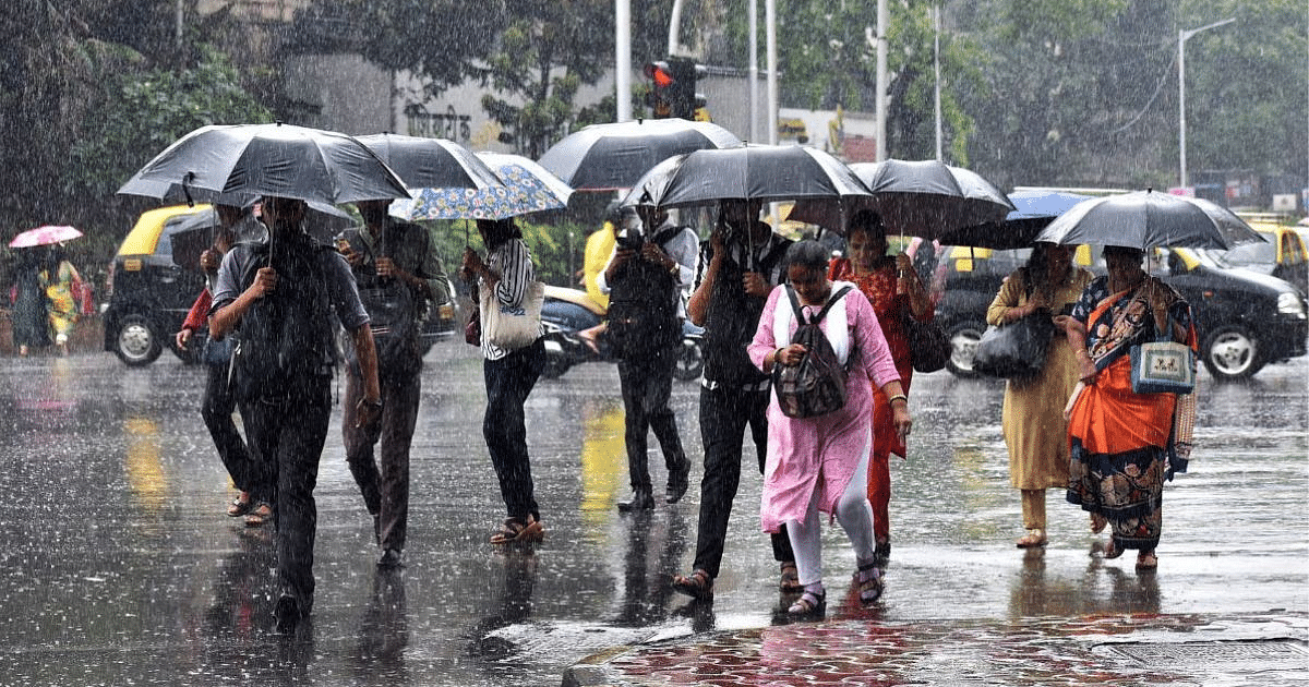
UP Weather Update: Due to the movement of clouds amid humidity, rain continues in Uttar Pradesh. Light to moderate rain is occurring in various parts of the state. In the last 24 hours, it rained in many parts of the state including Lucknow, Agra and Central UP. The weather department has predicted rain in the state on Friday also.
The maximum temperature in Lucknow is likely to be 34 degrees.
Friday morning started with normal weather in the capital Lucknow and surrounding areas. The weather may change due to active monsoon activities during day and evening. According to Lucknow, the maximum temperature in the capital Lucknow and surrounding areas on Friday is likely to be 34 degrees and the minimum temperature will be 26 degrees Celsius.
Chances of rain in the entire state
According to Zonal Meteorological Centre, Lucknow, there are chances of rain and thundershowers at some places in the state on Friday. During this period, there may be heavy rain at one or two places in eastern Uttar Pradesh.
Chance of rain in these districts
There is a possibility of heavy rain in Kushinagar, Maharajganj, Gorakhpur, Sant Kabir Nagar, Ballia, Deoria and its surrounding areas in the state on Friday. Along with this, there are chances of thunder and lightning in Banda, Chitrakoot, Kaushambi, Prayagraj, Fatehpur, Pratapgarh, Sonbhadra, Mirzapur, Chandauli, Varanasi and Sant Ravidas Nagar.
Alert of lightning in these districts
Along with this, there is a possibility of thunder and lightning in Kasganj, Bijnor, Amroha, Moradabad, Rampur, Bareilly, Shahjahanpur, Badaun, Jalaun, Hamirpur, Mahoba, Jhansi, Lalitpur and its surrounding areas. Apart from this, there are chances of thunder and lightning in Rae Bareli, Amethi, Sultanpur, Ambedkar Nagar, Saharanpur, Shamli, Meerut, Muzaffarnagar and Baghpat districts. There is a possibility of lightning in Jaunpur, Ghazipur, Azamgarh, Mau, Ballia, Deoria, Gorakhpur, Sant Kabir Nagar, Basti, Kushinagar, Farrukhabad, Maharajganj, Siddharthnagar, Kanpur Dehat and Kanpur Nagar.
Rainy season till 27th September
After this, similar weather will prevail on 23, 24 and 25 September. Heavy rain may occur at one or two places in Purvanchal. According to meteorologists, there are chances of rain and thundershowers at some places in the entire state during both these days. There are chances of rain everywhere in the state on 26th and 27th. In this way, monsoon is active in the state till the end of September.
Cyclonic winds are active in these areas
There is no possibility of any major change in the maximum and minimum temperatures in the state for the next four days. According to meteorologists, a trough is extending from the cyclonic storm area over the northeastern Arabian Sea to Punjab via western Rajasthan. The low pressure area is currently over the areas adjoining Jharkhand. The associated cyclonic circulation extends up to 7.6 km, tilting south-west with height and is likely to move westwards over Jharkhand and South Bihar during the next two days. The cyclonic circulation over the western parts of Kutch has moved over the north-east Arabian Sea. The monsoon trough at mean sea level passes through Jaisalmer, Kota, Guna, Satna, Ambikapur, passing through the center of low pressure area over south-east Jharkhand and adjoining areas, Digha and then south-eastwards. Central going till Bay of Bengal.