
[ad_1]
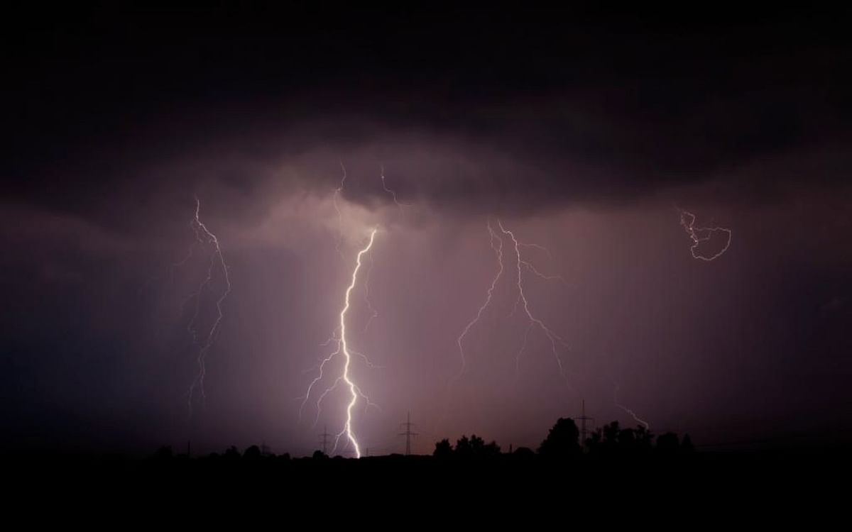
UP Weather Forecast: of Uttar Pradesh Season After respite from the scorching heat, a big change will be seen again. Due to the activation of Western Disturbance, there is a possibility of rain in most parts of the state from Saturday. Many western disturbances will come on the mountains one after the other. There will be heavy rain with hail. Due to snowfall, the effect will also be seen in the plains.
There is also a possibility of hailstorm in some parts of the state till May 2. Dusty storm, rain to thundershower with strong winds may continue till May 4 in the state. Because of this, a drop of up to five degrees can be seen in the maximum temperature.
According to the Zonal Meteorological Center, the phase of change in the state’s weather which has started once again from the last week of April, will now see more impact due to storms and rains. In the middle of April, even though people were finding it difficult to come out due to heat stroke. But, after this there was relief. Now the weather pattern is likely to continue in May as well.
According to meteorologists, in the first week of May, people will get respite from the heat due to thunderstorms, rains and hailstorms, whereas in the following weeks, only a few days of heatwave will show its effect. Due to the change in weather due to most of the disturbance, the condition of thunderstorms and rain will continue.
Due to the activation of Western Disturbance in many places in May, there may be more rain than normal due to the combination of East and West winds. On the other hand, in the second week of May, some days in Purvanchal, people can suffer due to heat stroke. However, its effect will not be seen much in western Uttar Pradesh and the central part of the state.
According to the Zonal Meteorological Centre, the Western Disturbance is active as a cyclonic circulation over central Pakistan and adjoining parts of Punjab. A trough is extending from Madhya Pradesh to South Interior Tamil Nadu at lower levels. The cyclonic circulation is over the central parts of Bihar. Its effect is being seen in the weather of the state. From Saturday, in the next four-five days, there is a situation of rain with thunder and lightning in the entire state. Along with this, there is a possibility of strong winds blowing at a speed of 40 to 50 kilometers per hour.
Temperature conditions in major cities of UP on Saturday
In the major cities of the state, today the minimum temperature in Lucknow is 23 degree and the maximum temperature is 34 degree, in Agra the minimum temperature is 22 degree and the maximum temperature is 35 degree, in Kanpur the minimum temperature is 22 degree and the maximum temperature is 35 degree, in Prayagraj the minimum temperature is 24 degree and the maximum temperature is 24 degree. The temperature is expected to be 36 degrees, the minimum temperature in Varanasi is 24 degrees and the maximum temperature is 37 degrees.
Along with this, the minimum temperature in Bareilly is 20 degrees and the maximum temperature is 33 degrees, in Gorakhpur the minimum temperature is 23 degrees and the maximum temperature is 37 degrees, in Meerut the minimum temperature is 19 degrees and the maximum temperature is 33 degrees, in Ghaziabad the minimum temperature is 22 degrees and the maximum temperature is 34 degrees. And in Noida, the minimum temperature is expected to be 22 degrees and the maximum temperature is expected to be 34 degrees.
[ad_2]