
Patna. Pachhua state has become a cold day situation with wind speed of 15-20 kilometers per hour. Patna remained the coldest place in the entire state on Sunday. The highest temperature here was recorded at 13.5 degrees Celsius, nine degrees below normal. The minimum temperature here was recorded at 11.9 degrees. It was kind of a severe cold day here. Similarly, cold day situation arose in Muzaffarpur and Vaishali on Sunday.
The maximum temperature in Bihar was around 14 degrees.
In many districts of Bihar, a difference of only one to three degrees was recorded in the minimum and maximum temperatures. The maximum temperature at both these places was around 14 degrees. However, no official announcement of cold and cold wave has been made by IMD. Apart from this, in some other parts of the state like Gaya, Purnia, Valmiki Nagar, the situation was more or less cold day. Cold wave conditions were also observed at some places. At most places the highest temperature has been recorded four to nine degrees Celsius below normal.
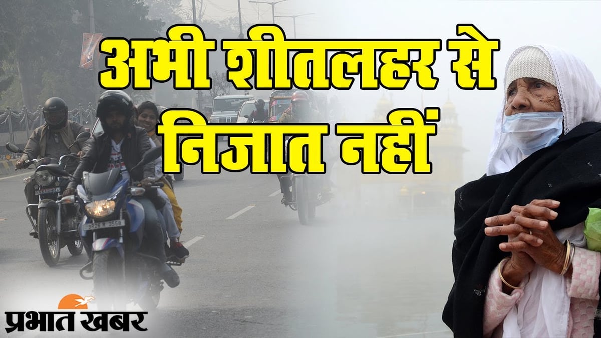
Moderate to dense fog prevailed in most areas
Moderate to dense fog prevailed in most areas of the state. Due to high amount of moisture in the atmosphere, water drops were felt in the form of spray. Meteorologists call this “cold injury”. Actually, this situation occurs when the amount of moisture in the winter air is much more than normal. According to IMD, severe cold is expected to persist in the state till Monday and Tuesday.
There will be some reduction in cold from Wednesday
According to the Meteorological Department, there will also be fog. However, there will be some reduction in cold from Wednesday. Considering that most areas of the state may be cloudy. There is also a forecast of light rain at some places. After this, cold may once again take hold. Meteorologists say that this time January may be colder than last year. However, IMD has not yet issued an official bulletin in this regard.
The highest temperature is six degrees below normal in most places.
According to the official information released by IMD, the highest temperature in Patna was recorded at 13.5 degrees Celsius, nine degrees below normal. Similarly, the maximum temperature in Gaya was recorded at 18.5 degrees Celsius, five degrees below normal, in Purnia it was five degrees below normal and in Bhagalpur it was 19 degrees Celsius, three degrees below normal. The special thing about temperature is that in most places of the state the minimum temperature is much higher than normal.
This is why cold wave situation is not being declared
Despite extreme cold being felt in the state, the IMD has not yet declared a cold wave. Considering that the minimum temperature in most places is much higher than normal. For example, the minimum temperature in Patna is three degrees above normal, Gaya and Purnia are four degrees above normal. IMD senior meteorologist Ashish Kumar said that the minimum temperature is above normal. The minimum temperature in the state is still above ten degrees. According to senior meteorologist Ashish Kumar, western disturbance is going to become active. Due to this, light rain is forecast in some areas of South Bihar between 3rd and 5th.
First code day of the season in Patna
Winter has now started showing its colors. The first code-day was recorded in Patna on the last day of the year. There was a difference of only 1.6 degrees Celsius between the maximum and minimum temperatures of the city. The maximum temperature was 13.5, nine degrees below normal, and the minimum temperature was 11.9 degrees Celsius. People also had to face problems due to fog throughout the day. According to the weather forecast, there is no possibility of any significant change in the weather for the next three days. There is a possibility of cold wave. At present there is influence of Pachhua and North Pachhua in the state. At the same time, a cyclonic system is formed in North Haryana between 1.5 and 3.1 km from the surface. Due to this the weather is changing.
the cold will still haunt you
Meteorologists said that this time the cold day or wave has started late. Usually, after December 15, the difference between maximum and minimum temperatures starts reducing. Due to this the cold increases. But, this time it has started late. For this reason, there is little possibility of relief from the weather till at least 25th January. At present the cold has increased for two days. There is a possibility of light rain from January 2.