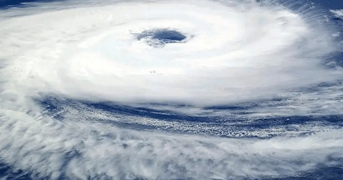
Jharkhand Weather:The widespread effect of the cyclonic circulation low pressure area formed in the Bay of Bengal is visible in Jharkhand. In the last 24 hours, light to moderate rainfall occurred at almost all places in the state while heavy to very heavy rainfall was also recorded at some places. Monsoon remained active in the state. Highest rainfall of 160.2 mm was recorded in Godda (Sunderpahari). The highest temperature of 31.4 degrees Celsius was recorded in Chaibasa and the lowest temperature was 22.4 degrees Celsius in Ranchi. Even today it is raining in almost all the districts of the state. In some districts of Santal Pargana orange alert has been released.
Due to low pressure, there are chances of heavy to very heavy rains in Dumka, Pakur and Sahibganj districts of the state on September 22. There may also be heavy rainfall at isolated places in the north-eastern and adjacent northern parts of the state. On September 23, there may be heavy rainfall at isolated places in the north-eastern parts of the state. Apart from this, there is a possibility of light to moderate rain in many districts of the state from September 24 to 28.
Rain warning in these districts, orange alert in some districts
-
There are chances of heavy to very heavy rain in Dumka, Pakur and Sahibganj districts of the state on September 22.
-
On September 22, there may be heavy rainfall at isolated places in Deoghar, Dhanbad, Dumka, Giridih, Godda, Jamtara, Pakur, Sahibganj, Koderma, Hazaribagh and Chatra districts.
-
On September 23 also, there may be heavy rainfall at isolated places in the north-eastern parts of the state (Devghar, Dhanbad, Dumka, Giridih, Godda, Jamtara, Pakur, Sahibganj).
-
There is also a possibility of thunder and lightning in these areas till September 24. Yellow alert has been issued regarding this.
-
The Meteorological Center has also predicted light to moderate rain in many districts of the state from September 24 to 28.
There is low pressure on Jharkhand and surrounding areas
-
According to Abhishek Anand, in-charge of the weather center, the low pressure area over Jharkhand and the surrounding areas has become less marked. However, the associated cyclonic circulation is over West Jharkhand and adjoining areas and extends up to 7.6 km above sea level.
-
At mean sea level the monsoon turf passes through Jaisalmer, Sibpuri, Sidhi, Gaya, Digha and from there moves east south-eastwards to the North Bay of Bengal.
-
Secondly, from Sikkim to South Central Maharashtra via Bihar, the cyclonic circulation over Western Jharkhand, Chhattisgarh, East Madhya Pradesh is between 1.5 and 5.8 km above mean sea level.
-
Conditions are becoming favorable for the withdrawal of southwest monsoon from some parts of western Rajasthan around September 25.
Still 32 mm less rain than normal in the state
In the last 24 hours, Godda has received maximum rainfall of 124.8 mm in Jharkhand. According to the Meteorological Department, Jharkhand has received 29 mm less rainfall than normal since June 1. Normally there should be 970 mm rainfall during this period, but so far only 688.6 mm rainfall has occurred. At present, Sahibganj and Godda have received 7 percent more rainfall than normal. The worst situation is in Chatra. There has been 58 percent less rainfall here. At the same time, Ranchi has received 29 percent less rainfall.

