
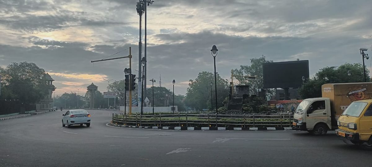
UP Weather Update: With the onset of monsoon in UP, the effect is being seen in the weather. Most of the places are cloudy in the sky. People have got relief from the scorching sun. Although the humidity has also increased. After continuous rains, it is expected to get relief.
According to the Meteorological Department, there is a possibility of rain in the state on Saturday. Its effect will be seen more in Purvanchal, whereas in western UP there may be thunder and lightning at some places. The maximum temperature in Lucknow and surrounding areas is expected to be 38 degree Celsius and the minimum temperature is expected to be 27 degree.
According to meteorologists, with the onset of monsoon in UP, it will gradually become active in the entire state. Monsoon has entered UP from Siddharthnagar. Soon after reaching different parts of the state, the effect of rain will be seen there too. Senior Scientist of Zonal Meteorological Center Mohd. Danish told that the wait for monsoon is over in UP and now it will gradually reach different parts of the state and become active there.
Monsoon has entered UP via Bihar. That’s why during the pre-monsoon where maximum rain was seen in Western UP and people in Purvanchal were battling the heat. Whereas now the situation is opposite. Due to the first onset of monsoon in Purvanchal, now there will be more intensity of rain. Even on Saturday, the rain in Purvanchal will be more effective than in other areas.
According to the Meteorological Department, normally the monsoon in UP enters Purvanchal by June 18. This time it has reached late due to various reasons. However, due to rains in different parts of the state, even during the pre-monsoon, there was a drop in temperature and the outbreak of heat wave completely ended.
Now in the coming days more intensity of rain will be seen. There is a possibility of light to heavy rain in different parts. Talking about the capital Lucknow, so far 223 mm of rain has been recorded. This is 51 percent less than normal. The normal average of rainfall during this period is 45.2 mm.
According to meteorologists, according to the speed at which the monsoon has progressed, it will cover the entire state in the next 24 hours. Where there is a possibility of rain in the state on Saturday. On June 24, there are chances of rain and thundershowers at 26-50 places in western UP and 51 to 75 places in eastern UP. After this, on June 25 and 26, it will rain heavily in the entire state. A similar situation will be seen on June 27 as well. Till June 29, the condition of rain will be seen in the entire state. Due to this, a drop in temperature will also be recorded.
So far less rainfall than normal has been recorded in the state. Western UP has received more rain than Eastern UP. There has been 24.4 mm of rain in the entire state, while normally it should have rained 49.5 mm. Now it is likely to be compensated in the monsoon.
In the last 24 hours in Uttar Pradesh, maximum heat havoc was seen in Prayagraj. The maximum temperature was recorded here at 40.6 degree Celsius. At the same time, the lowest 25.6 degrees was recorded in Churk.